|
|
|
|
Site Index:
|
UPDATE
#5 02/20
thru 02/28/07
Howdy
Everybody
We certainly hope you will enjoy the Website and that you will visit it
frequently. If you “BOOKMARK”
or “ADD TO YOUR FAVORITES”, you will have easier access to the Website.
You will find it at: www.amarse.net .
At the website, you can read about our aspirations for 2007, including
our plan to do the loop trip again this year.
Please let us know you thoughts, comments, and suggestions. The
period 01/19/07 thru 02/19/07 has been covered in Updates 1 through 4.
We continue with UPDATE07 #5. UPDATE07
#5 02/20/07 through 02/28/07.
Welcome back to the new
Adventures of the trawler AMARSE. At
last update, we were enjoying more of the west coast of Florida in the coastal
city of Madeira Beach. 02/20/07
TUESDAY MADEIRA BEACH,
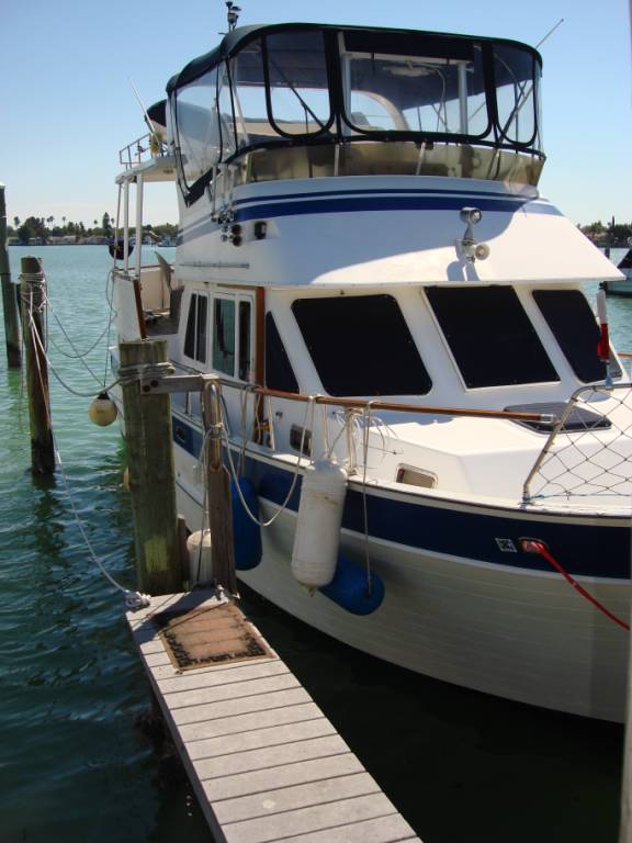
FLORIDA It was a lazy kind of day here in this lovely beach community. I spent a good portion of the day working on the logs and updates. It takes a lot of work and a lot of time to put these updates together. I am glad that so many of you are enjoying them. We walked to the nearby West Marine store. It is a small one that doesn’t have much stuff. I ordered a book on the Abaco Islands of the Bahamas. This marina has a very short and narrow finger pier making it quite a challenge to get on and off the boat. Sometimes, it is downright scary.
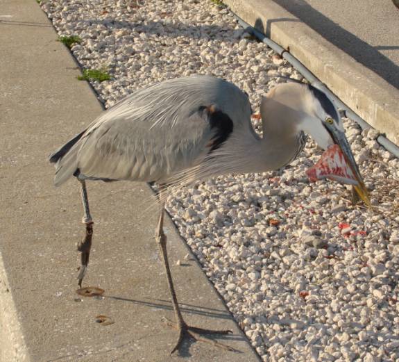
This Great Blue Heron was ready to grab up these fish cleaning scraps.
When it comes to food, they loose all inhibitions.
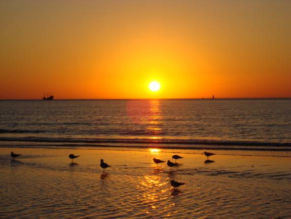
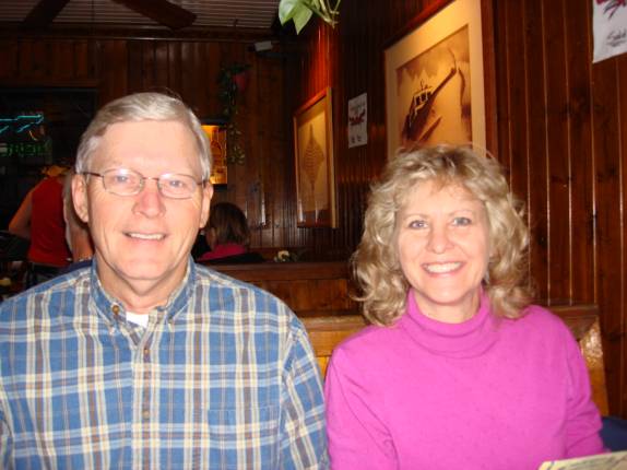
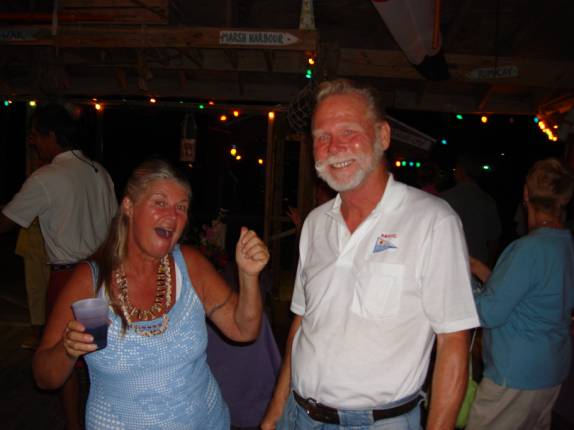
Ken and Georgia Bray agreed to meet us for dinner. We chose Frenchy’s Saltwater Café on Poinsettia Street in Clearwater Beach. They had to work today so Judy and I took the trolley bus to Clearwater Beach. The timing was perfect for a gorgeous sunset beach walk on the beautiful sugar sand.
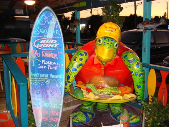
Just a short walk from the beach, we found Frenchy’s Restaurant just as Ken and Georgia were driving in to the parking lot.
Judy and I shared a bowl of the very best She-Crab soup that we’ve ever tasted. Wow! Great minds run along the same track that must be why we all ordered the Grouper Sandwiches. They were as excellent as so many of our friends have told us. Riding back to the marina in the luxury of Ken’s Lincoln sure beat the hard wooden seats of the trolley. All of our times with Ken and Georgia are so special. We just love these folks.
02/21/07
WEDNESDAY MADEIRA BEACH,
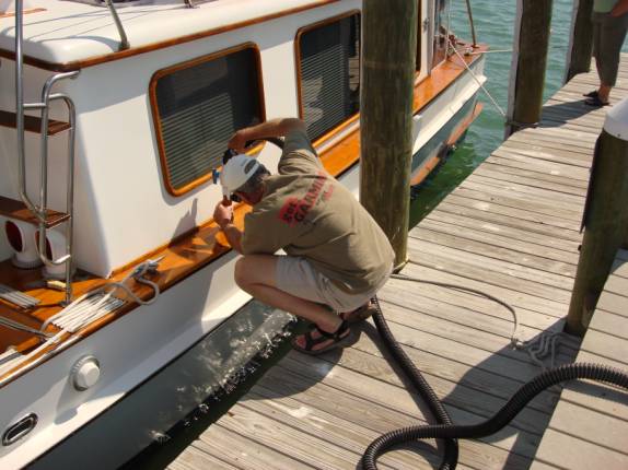
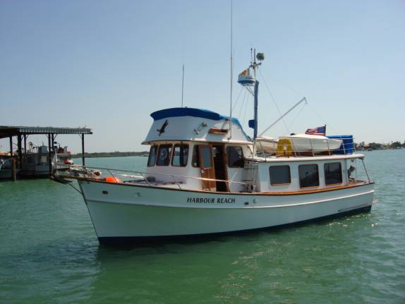
FLORIDA Bill and Mary Russell of HARBOUR REACH were readying to depart the marina. They are returning to Caladesi Island State Park to become Volunteers for the next month or so. We helped them slip their lines and move all the way to the pump-out dock. I’m not sure whether they were pumping stuff in or pumping stuff out.
Soon, they were on the way back north. Judy and I have been so privileged to enjoy these folks for this last month or so. We sure will miss them.
West Marine called that my book was in. We went grocery shopping to pick up supplies and stopped in on our walk back. You might know it, they sent the wrong book. Actually, they sent the 2006 version, whereas, the current revision is 2007. I guess they didn’t figure we’d know the difference. They couldn’t get the correct one until the next day and that would be too late for us. Another store across town had the correct version in stock. We figured the bus schedule out that would take us there and set out on the quest. First, the #68 would take us to Tyrone Mall. It was running late so we missed our connection to the #22. I took 50 minutes for the next one. We got the book but it took us 5 hours to make it happen. We now have the definitive work for traveling the northern Bahamas Islands, the 2007 Guide to the Abacos by Steve Dodge. Just looking at the pictures gives us the fever to get there quick. Tonight’s dinner was one of the best we’ve had. It started with jumbo shrimp cocktails followed by pan grilled fresh tilapia fillets in lemon butter. Baked, loaded mashed potatoes and warmed Cuban bread provided the perfect accompaniments. Another relaxing night of TV filled the evening. 02/22/07
THURSDAY MADEIRA BEACH, FL
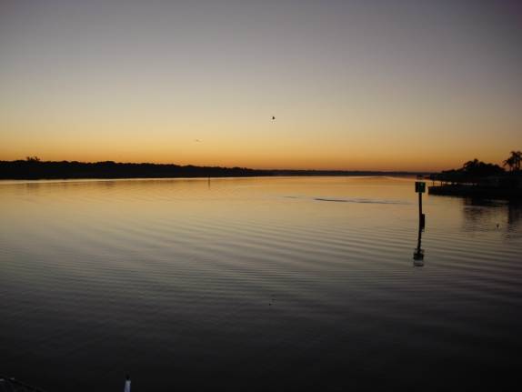
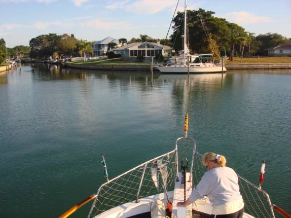
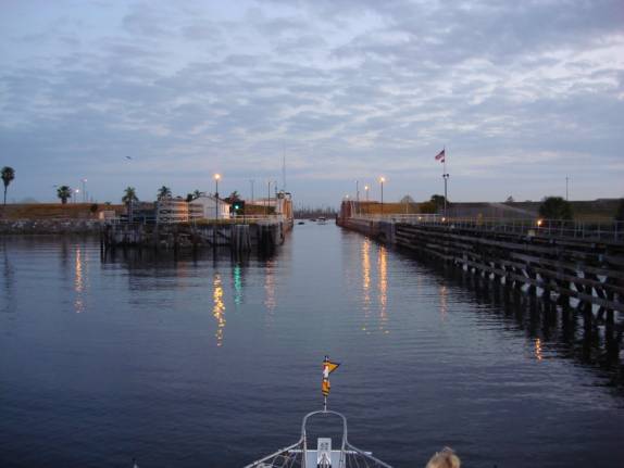
TO CAPE HAZE COVE ANCHORAGE Even before sunrise on this clear, calm, beautiful morning, the crew of AMARSE was busy preparing for the continuation of our journey. At 0640, the final set of lines has been taken aboard and the slowly turning propellers began to churn the salty bay waters.
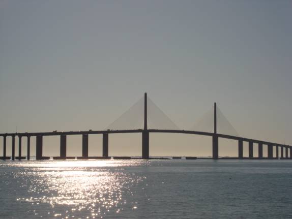
Commencing at mile 122.0, as measured from Ft. Myers, we followed the path of the GIWW (Gulf Intracoastal WaterWay) that passes Treasure Island, Tampa Bay, Longboat Key, Bradenton, Sarasota, and Venice. Certainly, it was a shame that we could not visit each and every one of these lovely locations, however, there are so many miles ahead and so little time. Oh, my, the terrible plight of the cruising couple. The huge Tampa Bay Skyway Bridge looms over the entire horizon.
For tonight, we selected a lovely, little, protected anchorage in Cape Haze Cove. There were already numerous other vessels in the tiny cove limiting our selection of position. Short scoped and fouled with stringy weeds, it took two attempts to set the Fortress fluke-style anchor.
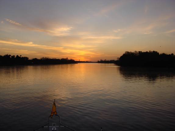
It was beautiful relaxing in the setting sun. Dinner started with a jumbo shrimp cocktail and progressed to a crisp, green salad. The main entrée of parmesan topped Lasagna was served with toasted Cuban bread. POSITION: N26 50.736 W082 17.203 Mile 36.0 GIWW 02/23/07
FRIDAY CAPE HAZE COVE TO COE
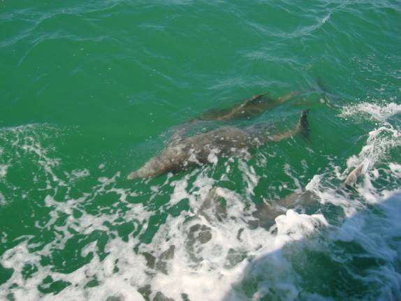
DOCK, FRANKLIN LOCK, OKEECHOBEE WATERWAY When we awoke to the familiar buzzing of the alarm clock at 6 am, a dense fog obscured the entire area. Rechecks at 6:30, 7:00, and 7:30 am revealed the same soupy fog. Judy fixed one of my favorite breakfasts that would bring the sunshine to any morning. I always brighten to English muffins, eggs, and sausage. By 8:15am, the visibility allowed us to begin weighing anchor. Lots of mud indicated that we had achieved excellent holding. Just 20 minutes later at 8:35am, we were back at idle and loitering for the Boca Grande swing bridge that was on restriction until 9am. Throughout the morning, Judy and I talked about the many possibilities ahead of us. Judy called many places to price diesel fuel. The cheapest was Ballard Oil Company in Ft. Myers Beach area. OK, once again, we have left our options open until the last moment. The biggest decision for us was “where the heck should we go?” Pods of Porpoises or Dolphins would come up and swim with us as if to lend their expertise on where we should go.
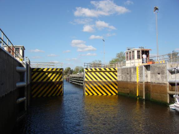
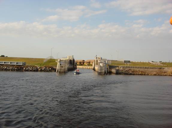
We were deeply torn over continuing south toward the Florida Keys or turning sharply east toward Stuart then on to the Bahamas. How did we come to the decision? Perhaps the deciding factor was the gorgeous photos in the 2007 Guide to the Abacos by Steve Dodge. The allure of white sand beaches and warm turquoise waters can emit a magnetism that is overpowering. An additional factor in the decision was the hope for reduced rates for marina fees. As strange as it may seem, the off-season for the northern Bahamas runs through the end of March. High season brings in the extremely wealthy yachtsmen and the sport-fishing fanatics with their expensive tastes and unlimited wallets. Rates for everything skyrocket beyond our humble means. Our hope was that we could catch the tail end of the off-season. Time will tell if we are guessing right. At 12:50pm, we crossed the 0.0 mile mark on the GIWW and proceeded on the OWW (Okeechobee WaterWay) commencing at mile 149.0 as measured from Stuart, Florida on the east coast. We checked our fuel gauges, calculated our fuel burns, and determined that we would wait until Stuart to refuel. This would save us several hours of precious travel time today as the most economical refueling location is well out of the way from our chosen route. We were in seemingly no rush and dawdled along peacefully on this beautiful afternoon. As we approached the Franklin Lock, we were unpleasantly surprised to hear that we had just missed the restricted locking schedule by 10 minutes. Normally, this lock operates on request, however, due to low water conditions and an increased salinity on the Caloosahatchie River, the Corps of Engineers has restricted openings to a schedule. Eastbound vessels are locked every two hours on even hours, whereas, westbound vessels are locked only on Odd hours. So, at 4:20pm, we dropped an anchor in an old channel on the west side at mile 121.5. The holding was very poor and the boat barely managed to sit solely by the weight of the chain and anchor alone. Slightly before 6pm, we were eagerly standing by to drop the few feet through the lock.
Twenty minutes later, we cleared the lock sill and at 6:30pm, we were tying up at the Corps of Engineers Park docks. They have eight slips with relatively short piers that provided an excellent, secure spot for the night. The sun had already set and we were ready for another peaceful evening. As is common at this time of evening, the tiny, irritating no-see-ums come out to feed on the sweet meat of the unsuspecting cruisers. We closed up quickly and avoided most of them. This was the perfect night to enjoy the delicious soup that Rose Stewart had made for us. It was a rich, tasty stock chock full of ham, numerous kinds of beans, veggies, and seasonings that melded together perfectly. Thanks, Rose, for the soup and the Cuban bread. POSITION: N26 43.390 W081 41.461 02/24/07
SATURDAY FRANKLIN LOCK
PARK to MOORE HAVEN, FLORIDA Another perfect morning, clear, no fog greeted our awakening. By 6:30am, under the dim light of early dawn, we rejoined the OWW at mile 121.2.
As the morning travel progressed eastward, the breeze continued to freshen. The swing bridges and the Ortona Lock caused us no delay and we were making good progress.
I had been looking at the various options for overnight anchoring on the other side of the big lake. There are only a few poor choices that would fit within our anticipated arrival time. As we approached the Moore Haven Lock, I called for passage. To our port, the brand new City of Moore Haven docks looked very inviting. What the heck, let’s just stop here for the night and then be in a better position for tomorrow. It was only 12:15pm as we slid up alongside the dock. The crossing of the lake would have been uncomfortable in this wind so this revised plan made much better sense. The folks from SUNSET CHASER were already secured and helped us with our lines. By late afternoon, all the available space was occupied and some boats had tied up at Thomas’ Dock just to the west. We made the walk to the U-Save grocery store and had a quick lunch along the way. Captain Wayne Flatt and his lovely lady, Cap’n Lynnie, from the M/V SKINWALKER, spend the winter months tucked away in a side canal just a short distance west of here. A cell call brought our desired response and they agreed to join us for cocktails and dinner. This great couple is an inspiration to me. I am always impressed with the respect and appreciation that Wayne always clearly displays to his mate, Lynn. We had a great visit. For dinner, I prepared “Enchila-sagna”. What you say? Actually, it was kind of Lasagna style Enchiladas. I think I made them just a tad too spicy for Lynnie’s Scottish-German taste buds. POSITION: N26 49.919 W081 05.403 OWW mile 78.5. 02/25/07
SUNDAY MOORE HAVEN, FL
to STUART, FL. The winds had completely subsided to a still calm. By 6:40am, AMARSE was eastbound under the high bridge, around the railroad bridge, and nearing the Moore Haven Lock. The lockmaster advised that the lock was wide open and we could proceed on through at idle speed. Now many of you may think that 6:45am is too early on a Sunday morning to be doing anything more than snoring, however, here the waterways were rife with the buzzing of bass boats and their eager occupants anticipating the hooking of that elusive “big one”. Even in the narrow chamber of the lock, we passed about 15 west bounders; Good Luck guys.
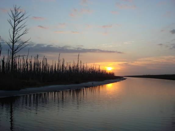
The canal turns sharply to starboard as you leave the MH Lock. The acres and acres of dead trees provide an eerie sight in the early morning light. I am not sure what killed all the trees. Any one out there knows?
At 8:15 am, we turned sharply left in the canal leading away from the Clewiston Lock. We don’t actually traverse that lock on our route to cross the Lake. On the other side, however, is the famous fishing resort of Roland Martin. His TV fame nets him lots of followers “hook, line, and sinker”.
We had not seen any less than 6 feet of water although our friends experienced a couple of 5 and 5-1/2 foot spots a week ago. The only advise either of us gives is to stay smack center of the channel being ever cautious to constantly look back at the markers behind to ensure that you are not drifting out of the center. The shallowest locations appear to be eastbound from the Clewiston Lock and out passed the large, concrete cylinder.
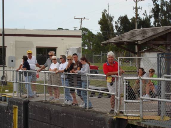
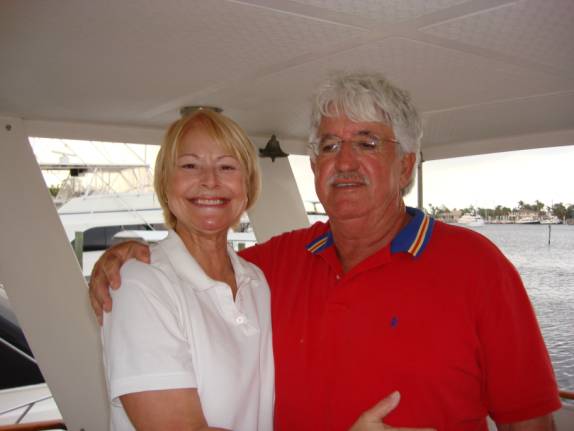
Although the wind had picked up a bit, we still had a fairly comfortable crossing of Lake Okeechobee in 1-2 foot chop, albeit, a little rolly on the eastern half. It was slightly over three hours later when we passed through the Port Mayaca Lock. Upon exiting east of the Port Mayaca Lock, the lockmaster often warns boaters to stay south of Red Marker #52 or else you hit solid rock. We followed his suggestions to the “T”. We made numerous phone calls to our good friend, Ivor Nathan, in Stuart. As you may well remember, Ivor and Susan aboard “Lazy Susan”, traveled the loop in 2006. Many, many times we had the good fortune to travel with or meet up with them. Judy and Susan have made a long-lasting friendship and Ivor and I seem to find ways to endlessly joke with each other. They are great fun folks. As we eased into the St. Lucie Lock at mile 15.0 shortly after 2pm, Ivor was already standing on the Lock wall waving to greet us to his home city. He looks so dashing in his moustache and red shirt.
Ivor was busy making arrangements for us to get together tonight for a visit and dinner. At 4:15pm, we turned into Manatee Pocket headed for Mariner’s Cay Marina to refuel. Ivor and Susan were there to meet us and exchange hugs.
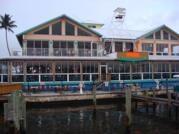
Ivor had arranged a dock space at FINZ Restaurant located just a little further into the Manatee Pocket bay. I don’t know how he does it, but, he can schmooze just about anyone with that charming South African accent and brilliant smile. He got us reservations and even arranged for us to overnight right at the restaurant dock. What a cool dude! I don’t know if many of you know this, but Ivor Nathan and I toured internationally in one of the few two-man “Trio” acts ever to make the big time. Note this old picture of our gig in Vegas.
A quick trip to the store, cocktails, and a great dinner at FINZ ran us out of time altogether too soon. Thanks Ivor and Susan; We will return again. 02/26/07
MONDAY STUART, FL to
LITTLE BAHAMA BANK
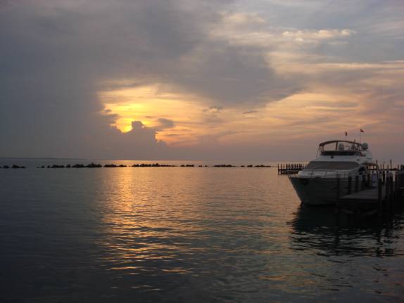
When we woke up this morning, we were in no particular rush to get going. After all, our plan was to travel only about 30 miles south to Lake Worth. I had leisurely checked the weather conditions for the east coast of Florida including the Atlantic Gulfstream. We had just received an email from Robert and Patty on ORINOCO that they had departed their anchorage in Lake Worth at 6:30am bound for West End, Bahamas. The forecast was for fairly good crossing conditions in seas 2 feet or less in light southerly winds. At 7:05 am, AMARSE quietly slipped away from FINZ Restaurant dock to idle out the Manatee Pocket channel.
The St. Lucie Inlet, which leads to the Atlantic Ocean, lies only a couple of miles away. It is a particularly treacherous passage that frequently shoals-in making it impassible during much of the time. Recently, a great many boats have been running aground attempting to traverse the narrow channel. We overheard some boats checking with TowBoat/US as to the navigability of the cut. The advice that followed completely changed everything. Eager to overhear the inlet conditions, I completely missed my sharp right turn that would change us to the intersecting ICW channel. We remained in the main channel leading to the St. Lucie Inlet. I soon realized what had happened and was now faced with two, diametrically opposed alternatives. Firstly, I could make a quick turnaround and rejoin the ICW channel toward Lake Worth, or, Secondly, we could take advantage of the favorable conditions for a Gulfstream crossing from here at the St. Lucie Inlet. My VHF radio call to the dredge operating in the inlet indicated that we would be able to clear the shoal through a narrow channel that they had just cleared. Well, you know us, we’re usually ready to alter even the best-laid plans for some additional adventure. The decision was, “Let’s Go For It!” Steering around the dredge buoys within the channel markers, Judy quickly prepared the cabin for sea conditions while I hastily set in a waypoint, or two, for the Bahamas. The skinny, rough cut was good enough to provide us safe passage into the Atlantic open water at 7:30am. What a difference just 15 minutes makes and it feels great to be spontaneously embarking on another full phase of adventure. Bahamas, here we come. At 11:17 am, we crossed the charted axis of the core of the Gulfstream current. The Gulfstream is kind of like a fast moving river of warmer water that races through this section of the Atlantic Ocean. At the center, or axis core, the velocity of the stream can be around 3-1/2 knots or about 4 miles per hour. This requires the boater to increase the magnetic heading significantly to maintain the desired rhumb line course. Another trick that is often used by slower vessels is to intentionally undertake a course more southerly during the initial miles when the current is less, then, when the current strengthens, alter course more northerly to take advantage of the current’s force. I set in a waypoint for White Sand Ridge on the Little Bahamas Bank as our target point. This point located about 35 miles north of West End would give us the additional advantage that we would not be driving so deeply into the current. Crossing the Gulfstream requires a rather unusual strategy to maximize time, speed, and distance.
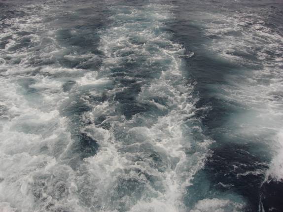
The seas were a bit steeper than forecasted. Initially, we experienced 2-3 foot seas on our forward, starboard quarter, however, the afternoon would yield some 4-5 footers off the beam that gave us quite a rolley-polley ride. The color of the Gulfstream is a deep, crystal clear blue.
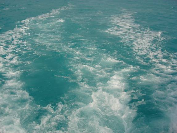
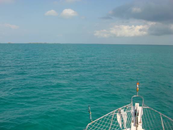
At 3:02pm, we left the ‘stream for the Little Bahamas Bank. The color of this water is a totally different turquoise.
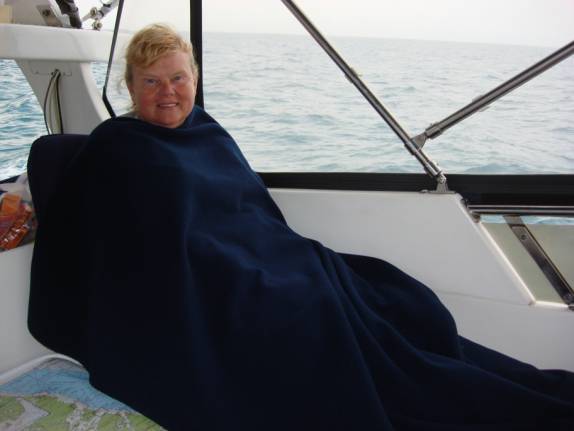
Depths that had been thousands of feet immediately shallowed to 15-20 feet. Normally, the waters become quite calm, however, due to the strength and direction of today’s wind, we endured mostly beam seas in the 1-2 foot range with occasional 3’s. I bet you wonder what we could see? Of course, all we could see was the sea. Sunset today happened at 6:13pm. At 6:10pm, I pulled the throttles to idle and coasted to a stop where Judy lowered the anchor. Here we were in the middle of the Little Bahamas Bank with nothing in sight to spend the night. I have done this several times before on JD’s boat and it seemed to work out pretty good. After all, there is just about nothing anywhere near here. With 100 feet of chain and 75 feet of nylon rode set out, we programmed the anchor alarm and started dinner. “Super-Supper-Soup-Surprise” was tonight’s special. Actually, I combined the leftover Enchi-lasagna, the last of Rose’s soup, and some Consommé de Costilla de Res (ribs of beef). It was really quite good. Over night, we experienced very unsettled weather with strong breezes, tons of lightning, and heavy downpours of rain. I set the alarm for every hour to check our position and situation. All was perfectly fine, however, the prudent cruiser needs to be constantly vigilant. Fortunately, everything remained steadfast for the night. POSITION: N27 03.936 W078 42.422 02/27/07
TUESDAY LITTLE BAHAMA BANK
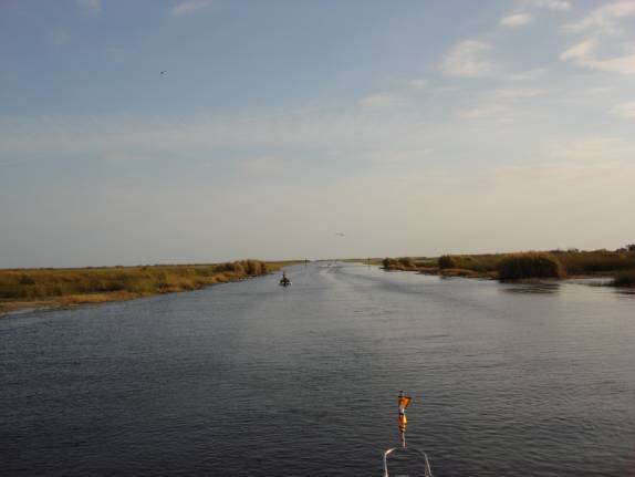
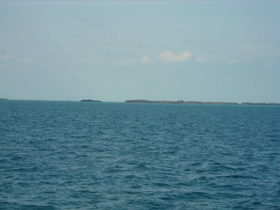
to SPANISH CAY, ABACOS, BAHAMAS Our night was not very restful. We had gone to bed early, however, with the numerous wakeups to check conditions, we could never achieve a sound sleep. The boat had been pitching all night and the constant noise from the splashing waves upon the hull and swim platform were quite loud. The good news is that we held wonderfully in the sandy bottom. At 6:54am, we had the anchor stowed securely and resumed our easterly course. We passed north of both Little Sale Cay and Great Sale Cay in seas of only a foot. It was a typically tropical day with partly to mostly cloudy skies. As we motored along the Sea of Abaco, we could see numerous small cays, rocks, and islands.
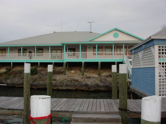
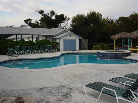
At 3:05pm, we tied up at Spanish Cay Marina and cleared customs and immigration. This place was perfect and they had a officer waiting to clear us in. Everything was handled smoothly and efficiently. I highly recommend this stop to clear in. We decided to stay the night at a dock with the threat of inclement weather forecasted again tonight. I’m glad we did stay as we got to swim in the resort pool and chat with a nice group of guys from the eastern shore of the Chesapeake. They are officers of the Wicomico Yacht Club and Bill Graham invited us to join them for an evening when we get to the Maryland shore.
We enjoyed a salad and a lasagna dinner before retiring our exhausted bodies rather early. 02/28/07
WEDNESDAY SPANISH CAY,
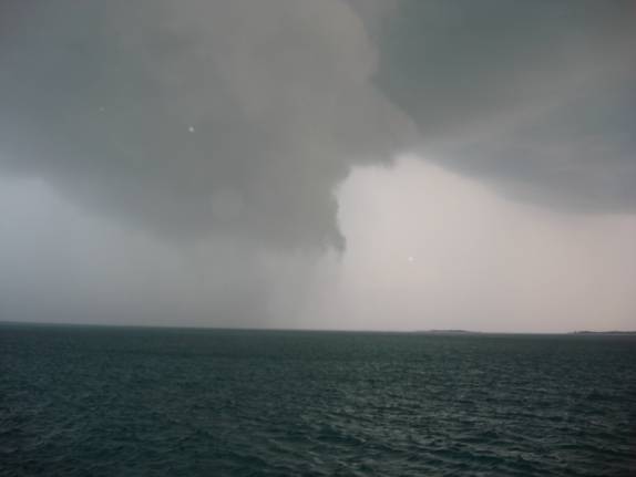
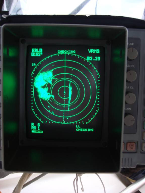
ABACOS to ABACO BEACH RESORT AND BOAT HARBOUR, MARSH HARBOUR, BAHAMAS Hoping for an early start, we awoke at 6 am. There was a continuous display of lightning, strong winds, and rainy conditions at that time. By 7 am, the storm had moved away and the wind had laid down to an acceptable level. In the distance, we could see a large area of weather, however, I thought it was probably moving away from us. As we got underway cruising south on the Sea of Abaco, it became apparent that the huge area was heading for us at an overtaking rate. We watched as the lightning show got closer and closer and the ominous sky threatened to rough us up a bit. As we observed, the storm cell center was veering slightly eastward so that the main body crossed our stern as it headed toward the sea. Of course, we did not escape all the wind and rain, however, good fortune had spared us the full wrath of this beast. (We later learned that it produced a waterspout that ripped the canvas bimini top off a boat anchored in a nearby cay). The cell was significant enough for me to photograph it and the impressive radar return it yielded.
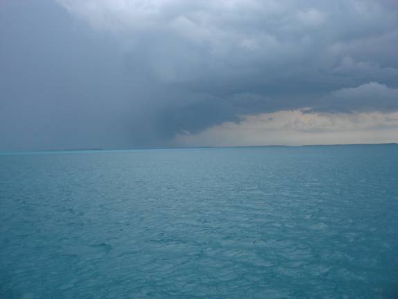
Numerous showers and cells surrounded us as we worked our way south through the shoals of Whale Cay, Bakers Bank, and Guana Cay. A steady, moderate rain enveloped us for the remainder of our route.
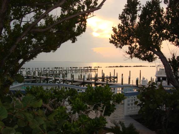
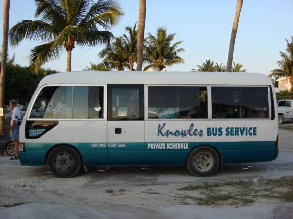
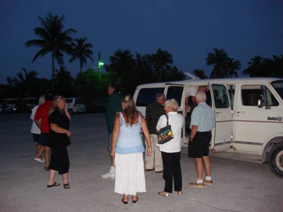
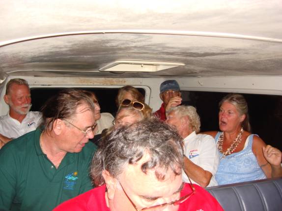
We hailed Doug and Leslie on HAPPY CLAMZ that we were coming in. We had communicated recently, however, they did not expect us so soon. They obtained our slip assignment and enlisted help to take our lines and assist in docking. It was raining and we were thankful to see Paul and Sue Graham from Odyssey and another Paul standing ready in their foul weather gear ready to assist. We couldn’t have done it without them. Thanks guyz! We are now officially inducted into the Royal Marsh Harbour Yacht Club. Linda and Fred Glassman of LINDA G II had our paperwork all completed and ready for pickup. That was great and it helped to facilitate our registration process. Thanks to the additional guiding efforts of Sue Graham, we were able to get all checked-in. When Doug and Leslie of HAPPY CLAMZ returned from their luncheon date, they gave us the full tour of the facility. The rain had subsided and the patches of blue had returned to the afternoon sky. The Yacht Club (RMHYC) had organized a bus trip to Treasure Cay for a Tourism party. Although they were fully booked, Judy and I decided to go to the assembly point just in case someone didn’t show up. There were 43 people ready to go and everyone had shown up. Bob and Judy worked it out that we could squeeze everyone into the bus and their van. The bus carried 28 while the 12-passenger van was stuffed with 15 fun-loving members.
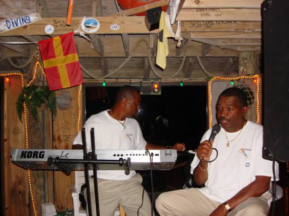
The half hour trip gave us our introduction to the wild roads of the Bahamas where they drive on the opposite side of the road. With all the extra weight, the van would bottom out in the big bumps. We arrived at Coco Beach Bar at the Treasure Cay Resort to the sounds of a great carib duo.
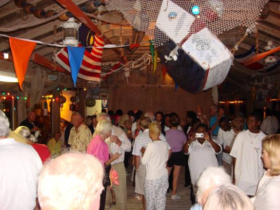
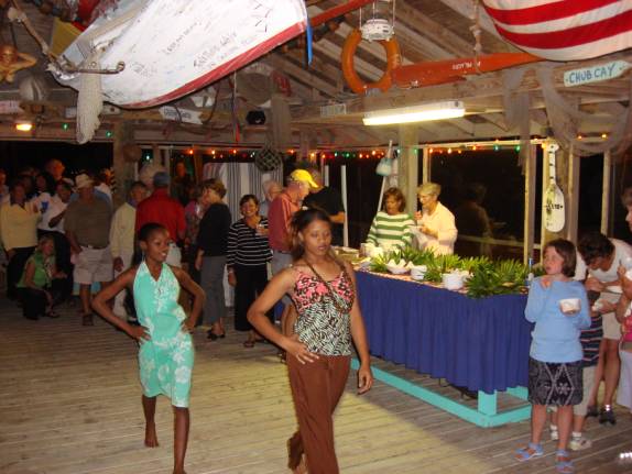
The place was packed for this special event sponsored by the Bahamian Tourism board. They had a great buffet with Cracked Conch, Conch Fritters, Grouper fingers, and various veggies and dips. Beer, Rum Punch, and wine were flowing freely. The band rested while several young ladies gave the audience a fashion show.
George and Miriam from TIME OUT were sure enjoying the show. George was very helpful with advance information about the marinas.
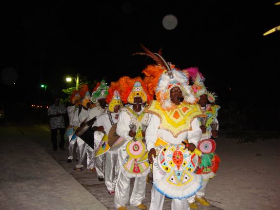
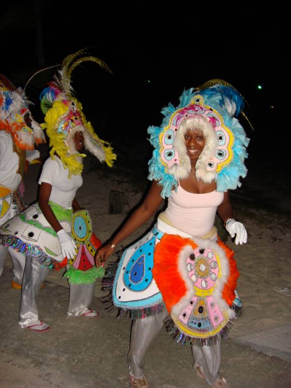
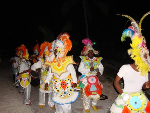
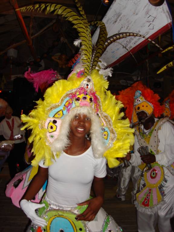
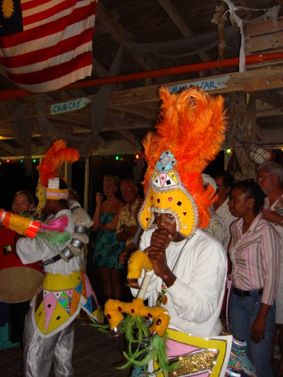
As the band resumed, we were treated to a very special show. It was JUNKANOO time and the dancers began. This is a unique Bahamian tradition usually reserved for the Christmas season and again in the summer. We were so fortunate to get to see the performance. The history dates back to the early slave days here in the Bahamas. Just too cool, Mon. We be jammin’, Mon.
When we got back to the marina, we were plenty tired and ready for a restful night here in this island paradise.
I think we will have a lot of wonderful times here with all these terrific folks. Stayed tuned for more upcoming updates with all the latest on our adventures.
POST
SCRIPT:
Our plan is to enjoy this resort marina for the
entire month of March. We hope to
take some side trips to other cays and islands while maintaining this as our
home base. Please let us know if
you have any special suggestions and thoughts.
We sincerely hope that you enjoy these email
UPDATES. We thank those of you who
have contacted us recently and we are looking forward to hearing from each of
you in the near future. Thanks for
allowing us to share our life and adventures with you.
REMEMBER:
The website is now fully active and you can visit it at any time.
You can review any of the 2006 or 2007 logs and learn more about the crew
and our plans. Enjoy.
ATTENTION:
SPECIAL NOTE: While we are in the Bahamas, we will not have any telephone service. If you would like to contact us, you can send us emails. The marina has Wi-Fi connections that are pretty good but drop off frequently. It is certainly better than we expected. Of course, when we travel to the off islands, we probably will not have much contact if any. That shouldn’t be too much though.
Please email us if you like, we’d really like to
hear from you. "AMARSE".
is pronounced "AM-ARE-SAY". Our website is: www.amarse.net
. Check
it out while we will attempt to keep you informed via email
We would like to hear more about what is happening
in your lives. Let us know as we
very interested in what’s going on with our friends and family. Please
call or email us with your thoughts and comments and ideas too. Thanks Lot
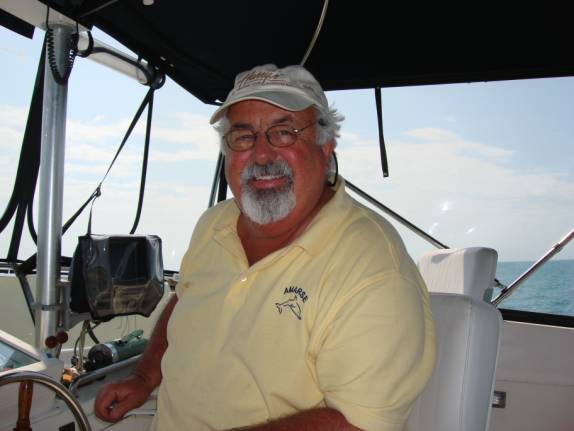
of Love, Fred
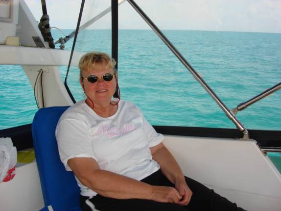
Reed and Judy Law AMARSE MT40
|
|
Fred H. Reed |
www.amarse.net © 2006 2007 2008 2009 2010 2011 |